Embed Size (px)
Citation preview
© 2005, Open Geospatial Consortium, Inc.© 2005, Open Geospatial Consortium, Inc.
Open Geospatial Open Geospatial Consortium (OGC) Consortium (OGC) Activities StatusActivities Status
October 2005
© 2005, Open Geospatial Consortium, Inc. 2
Helping the World to CommunicateGeographically
Selected OGC Current ActivitiesSelected OGC Current Activities
• Geospatial Digital Rights Management (GeoDRM) activity• OWS-3 and Interoperability Experiments• Group on Earth Observations (GEO) and GEOSS• Specifications Status
© 2005, Open Geospatial Consortium, Inc. 3
Helping the World to CommunicateGeographically
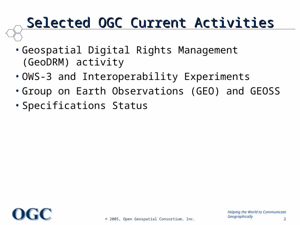
Managing and protecting intellectual propertyManaging and protecting intellectual property
WeakDRM
StrongDRM
no protection
copyri
ght statement
click-t
hrough licence
managed access
watermarki
ng
encryptio
n
Today we rely on our legal framework and licence agreements to protect our intellectual property
Our business is shifting so we need alternative ways to manage and protect our intellectual property
© 2005, Open Geospatial Consortium, Inc. 4
Helping the World to CommunicateGeographically
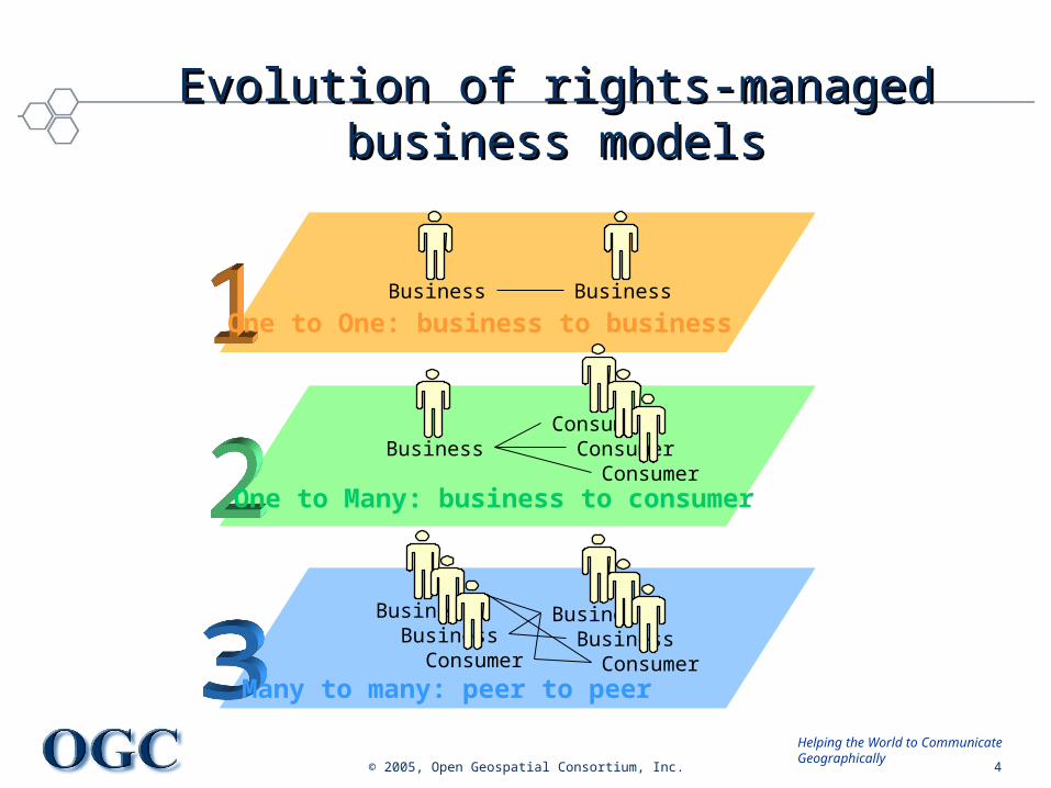
One to One: business to business
One to Many: business to consumer
Many to many: peer to peer
Evolution of rights-managed business Evolution of rights-managed business modelsmodels
Business Business
BusinessConsumer
ConsumerConsumer
BusinessBusiness
Consumer
BusinessBusiness
Consumer
© 2005, Open Geospatial Consortium, Inc. 5
Helping the World to CommunicateGeographically
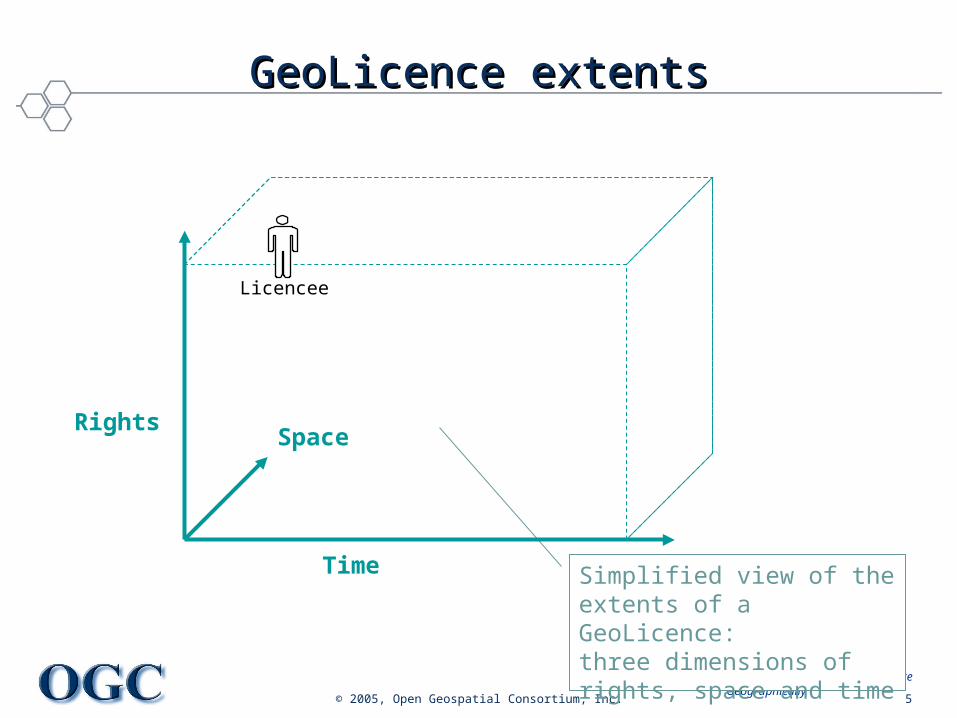
GeoLicence extentsGeoLicence extents
Licencee
Simplified view of the extents of a GeoLicence: three dimensions of rights, space and time
Time
RightsSpace
© 2005, Open Geospatial Consortium, Inc. 6
Helping the World to CommunicateGeographically
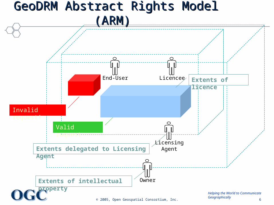
GeoDRM Abstract Rights Model (ARM) GeoDRM Abstract Rights Model (ARM)
Extents of intellectual property Owner
End-User
LicensingAgentExtents delegated to Licensing Agent
Invalid request!
Valid request
Licencee Extents of licence
© 2005, Open Geospatial Consortium, Inc. 7
Helping the World to CommunicateGeographically
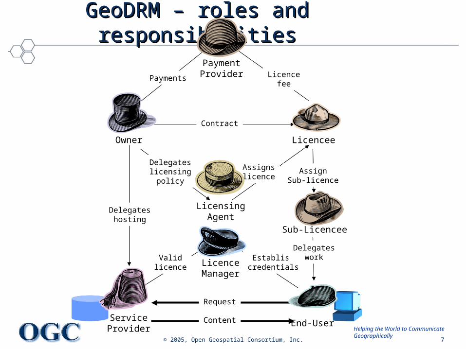
End-UserServiceProvider
Content
Request
LicensingAgent
Owner Licencee
PaymentProvider
Delegateslicensing
policy
Assignslicence
Licencefee
Payments
Contract
AssignSub-licence
Establishcredentials
Validlicence
Delegateshosting
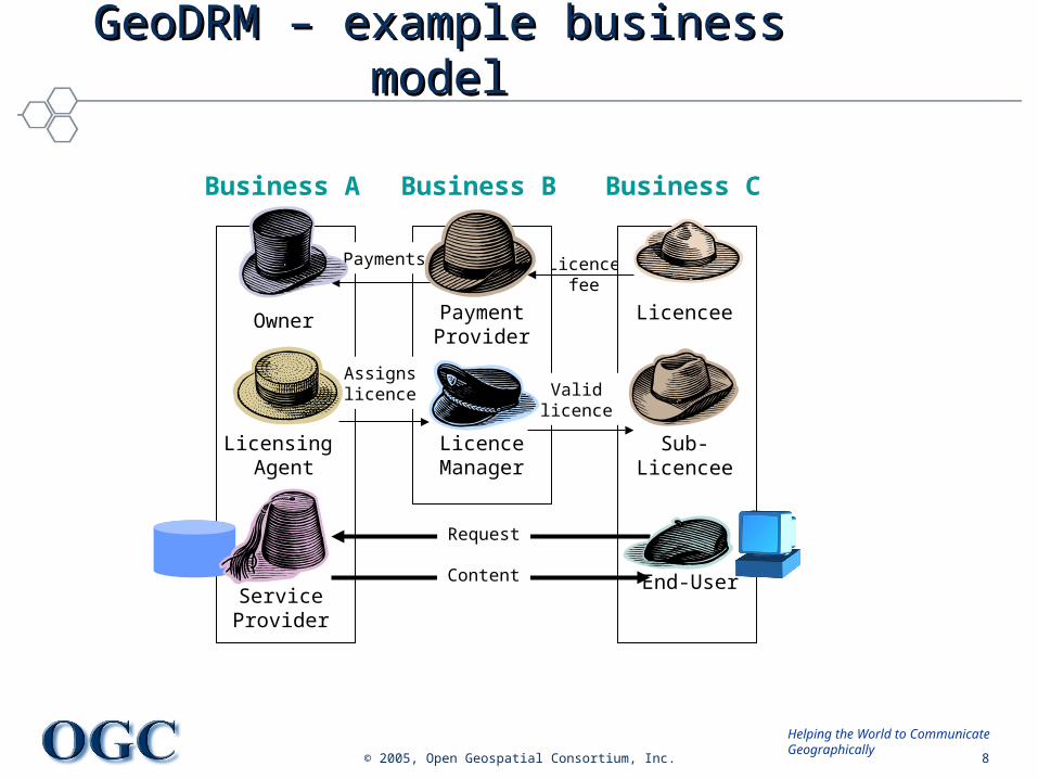
GeoDRM – roles and responsibilitiesGeoDRM – roles and responsibilities
Delegateswork
Sub-Licencee
LicenceManager
© 2005, Open Geospatial Consortium, Inc. 8
Helping the World to CommunicateGeographically
Licencefee
End-UserServiceProvider
Content
Request
Licensing Agent
Owner LicenceePaymentProvider
LicenceManager
GeoDRM – example business modelGeoDRM – example business model
Business A Business B Business C
Assignslicence Valid
licence
Payments
Sub-Licencee
© 2005, Open Geospatial Consortium, Inc. 9
Helping the World to CommunicateGeographically
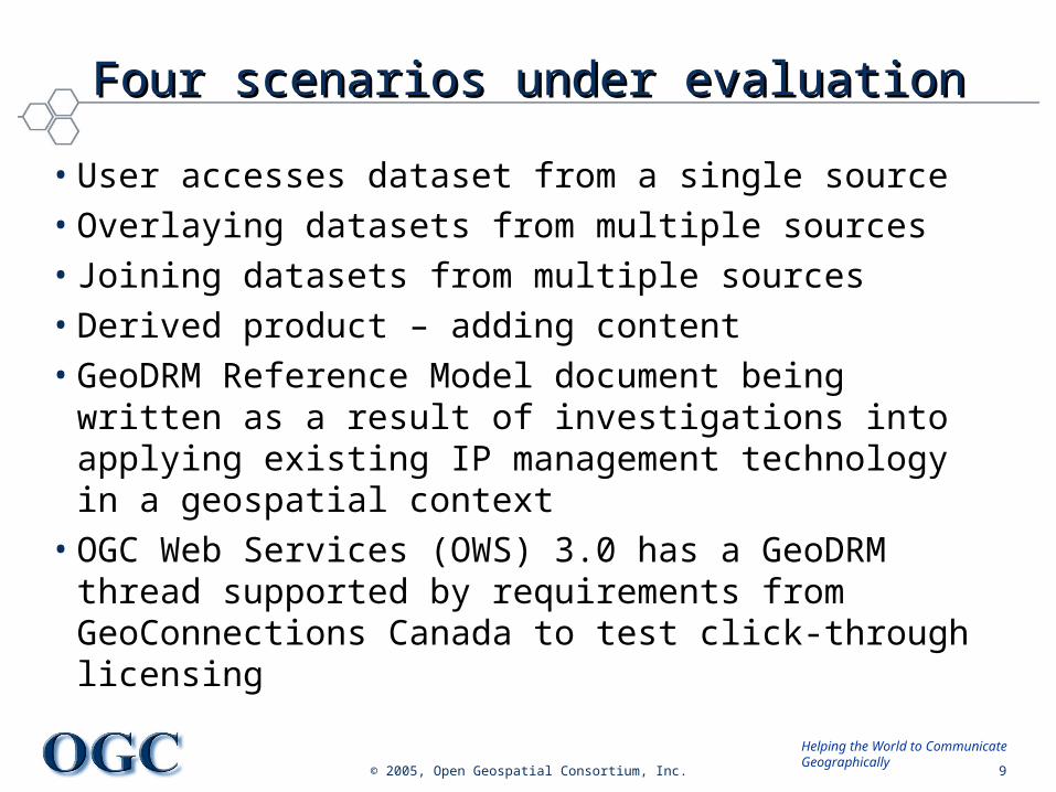
Four scenarios under evaluationFour scenarios under evaluation
• User accesses dataset from a single source• Overlaying datasets from multiple sources• Joining datasets from multiple sources• Derived product – adding content• GeoDRM Reference Model document being written as a
result of investigations into applying existing IP management technology in a geospatial context
• OGC Web Services (OWS) 3.0 has a GeoDRM thread supported by requirements from GeoConnections Canada to test click-through licensing
© 2005, Open Geospatial Consortium, Inc. 10
Helping the World to CommunicateGeographically
Project GeoDRM.LicenseProject GeoDRM.License
• SDI Joint Project:– German: Nutzungsbedingungen
– Goal: SDI Application “tim-online” with interoperable License Click-Through, (www.tim-online.nrw.de, was rated #1 of 25 projects last year, very large web access numbers)
– Based on geoDRM.OWS3 – Run by state NRW– License Click-through was recommended at the EuroSDR&eurogi
meeting in February by policy makers– 6 Member institutions
© 2005, Open Geospatial Consortium, Inc. 11
Helping the World to CommunicateGeographically
OGC Interoperability InitiativesOGC Interoperability Initiatives
• Current OGC Interoperability Experiments:– Web Services Context Document Schema– Geo-interface for Atmosphere, Land, Earth, and Ocean netCDF
(GALEON)– Geospatial Semantic Web – Sensor Alert Service
• OGC Web Services, Phase 3 (OWS-3) – Sensor Web Development– GeoDRM– Common Architecture improvements
• FGDC proposes Interoperability Experiment in support of interpreting and implementing the Geospatial Profile of the FEA
© 2005, Open Geospatial Consortium, Inc. 12
Helping the World to CommunicateGeographically
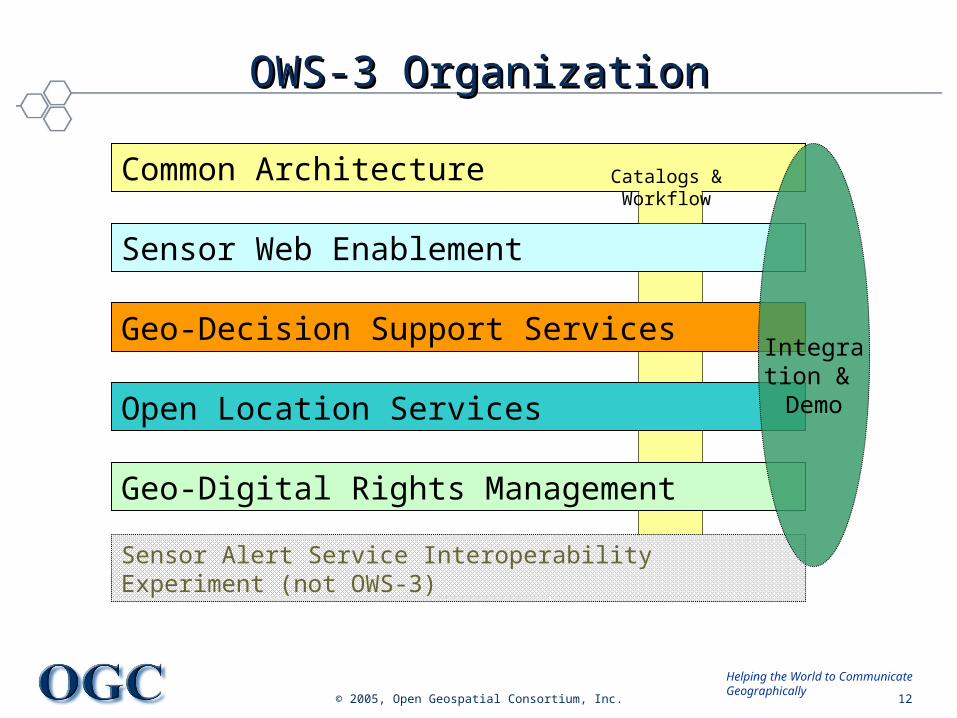
OWS-3 OrganizationOWS-3 Organization
Sensor Web Enablement
Geo-Decision Support Services
Geo-Digital Rights Management
Sensor Alert Service Interoperability Experiment (not OWS-3)
Open Location Services
Common Architecture Catalogs & Workflow
Integration &
Demo
© 2005, Open Geospatial Consortium, Inc. 13
Helping the World to CommunicateGeographically
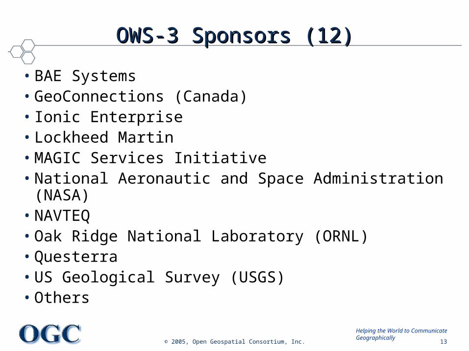
OWS-3 Sponsors (12)OWS-3 Sponsors (12)
• BAE Systems• GeoConnections (Canada)• Ionic Enterprise• Lockheed Martin• MAGIC Services Initiative• National Aeronautic and Space Administration (NASA)• NAVTEQ• Oak Ridge National Laboratory (ORNL)• Questerra• US Geological Survey (USGS)• Others
© 2005, Open Geospatial Consortium, Inc. 14
Helping the World to CommunicateGeographically
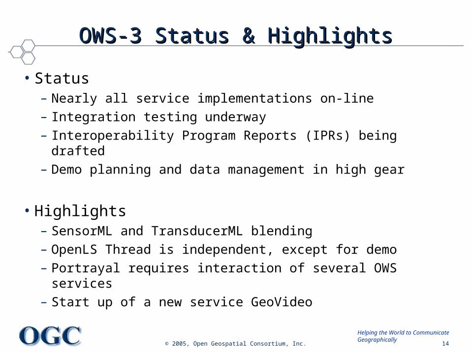
OWS-3 Status & HighlightsOWS-3 Status & Highlights
• Status– Nearly all service implementations on-line– Integration testing underway– Interoperability Program Reports (IPRs) being drafted– Demo planning and data management in high gear
• Highlights– SensorML and TransducerML blending– OpenLS Thread is independent, except for demo– Portrayal requires interaction of several OWS services– Start up of a new service GeoVideo
© 2005, Open Geospatial Consortium, Inc. 15
Helping the World to CommunicateGeographically
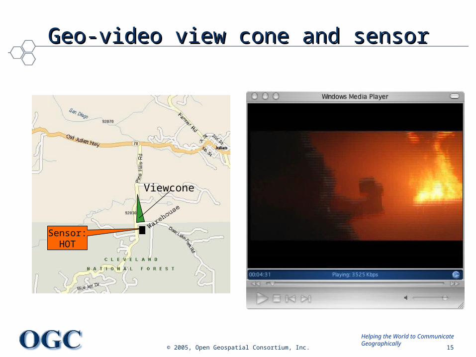
Geo-video view cone and sensorGeo-video view cone and sensor
Sensor:HOT
Viewcone
© 2005, Open Geospatial Consortium, Inc. 16
Helping the World to CommunicateGeographically
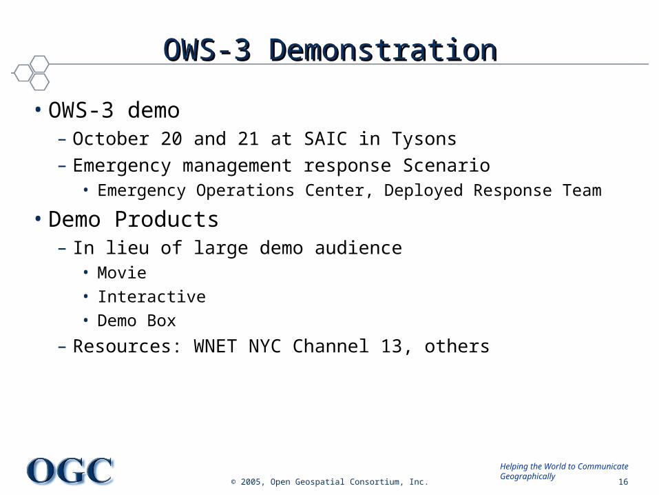
OWS-3 DemonstrationOWS-3 Demonstration
• OWS-3 demo– October 20 and 21 at SAIC in Tysons– Emergency management response Scenario
• Emergency Operations Center, Deployed Response Team
• Demo Products– In lieu of large demo audience
• Movie
• Interactive
• Demo Box
– Resources: WNET NYC Channel 13, others
© 2005, Open Geospatial Consortium, Inc. 17
Helping the World to CommunicateGeographically
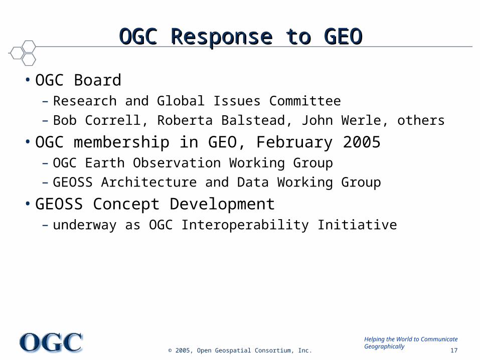
OGC Response to GEOOGC Response to GEO
• OGC Board – Research and Global Issues Committee– Bob Correll, Roberta Balstead, John Werle, others
• OGC membership in GEO, February 2005– OGC Earth Observation Working Group– GEOSS Architecture and Data Working Group
• GEOSS Concept Development – underway as OGC Interoperability Initiative
© 2005, Open Geospatial Consortium, Inc. 18
Helping the World to CommunicateGeographically
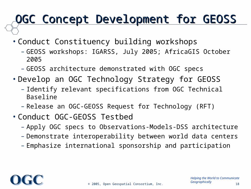
OGC Concept Development for GEOSSOGC Concept Development for GEOSS
• Conduct Constituency building workshops– GEOSS workshops: IGARSS, July 2005; AfricaGIS October 2005– GEOSS architecture demonstrated with OGC specs
• Develop an OGC Technology Strategy for GEOSS– Identify relevant specifications from OGC Technical Baseline– Release an OGC-GEOSS Request for Technology (RFT)
• Conduct OGC-GEOSS Testbed– Apply OGC specs to Observations-Models-DSS architecture– Demonstrate interoperability between world data centers– Emphasize international sponsorship and participation
© 2005, Open Geospatial Consortium, Inc. 19
Helping the World to CommunicateGeographically
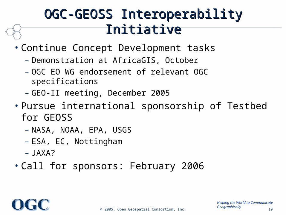
OGC-GEOSS Interoperability InitiativeOGC-GEOSS Interoperability Initiative
• Continue Concept Development tasks– Demonstration at AfricaGIS, October– OGC EO WG endorsement of relevant OGC specifications– GEO-II meeting, December 2005
• Pursue international sponsorship of Testbed for GEOSS – NASA, NOAA, EPA, USGS– ESA, EC, Nottingham– JAXA?
• Call for sponsors: February 2006
© 2005, Open Geospatial Consortium, Inc. 20
Helping the World to CommunicateGeographically
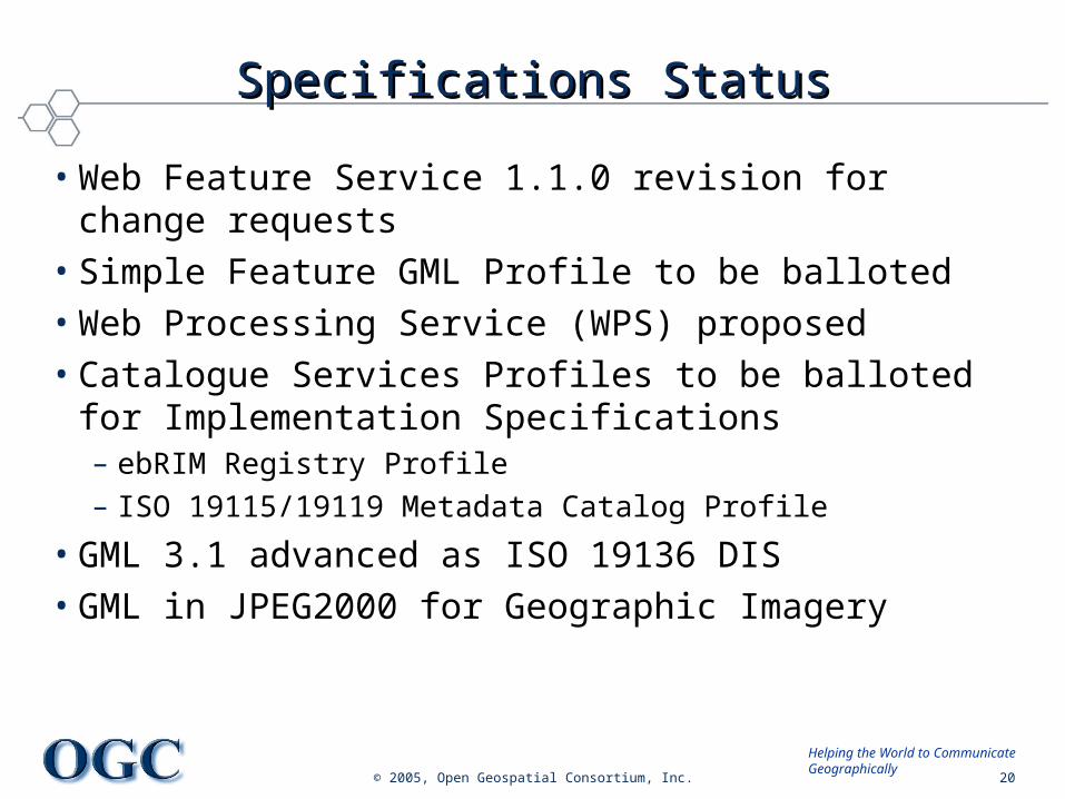
Specifications StatusSpecifications Status
• Web Feature Service 1.1.0 revision for change requests• Simple Feature GML Profile to be balloted• Web Processing Service (WPS) proposed • Catalogue Services Profiles to be balloted for
Implementation Specifications– ebRIM Registry Profile– ISO 19115/19119 Metadata Catalog Profile
• GML 3.1 advanced as ISO 19136 DIS• GML in JPEG2000 for Geographic Imagery